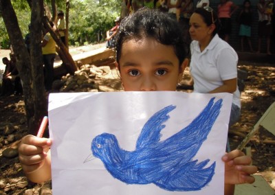
Apanaje, Nicaragua
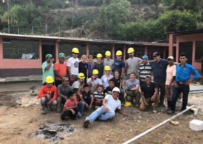
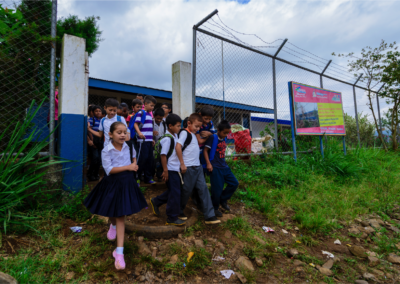
During the week of July 25 – August 2, 2015, Building Bridges traveled to Apanaje, Nicaragua to construct a three room pre-school for the village. During the week long service project, volunteers worked side by side with the people of Apanaje on the school construction project. The school was completed last fall.
The new school is located in the village of El Balsamo, which is in the southern part and most populated area of Apanaje. The location is an improvement over the other schools in Apanaje, which are located in an area that is often inaccessible during the rainy season.
About Apanaje
Apanaje was founded more than 100 years ago when it started as a setlement for people that worked in pine logging companies. Before the Spanish conquest, the village was settled by Chorotegas, who could have left some petroglyphs written in stones.
Apanaje is located on the northwest side of Las Sabanas municipality, Madriz department, in Nicaragua. Apanaje is divided in three areas: Los Patos (southern side), El Lio (center) and Apanaje (northern area), which hold most of its population. Apanaje is part of the buffer zone for the Natural Reserve Tepesomoto-La Patasta, where the Inali river begins. This is an area where about 60% of the water supply for Las Sabanas flows. It is located at 1,228 meters above sea level.
Population
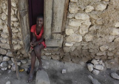
Apanaje holds a population of about 450 people, about 100 families. There are approximately 100 houses dispersed in the three areas. Most of these houses are built with adobe or wood. Most of the houses have tin roof, the rest of them would have tejas (tile roof). People in Apanaje grow corn, beans, onions, coffee and do cattle ranching.
Map
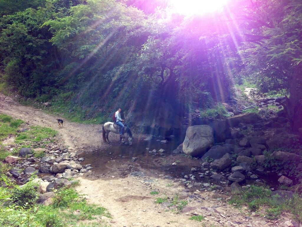
Horse in the Sunlight

Carrying Bricks to Site
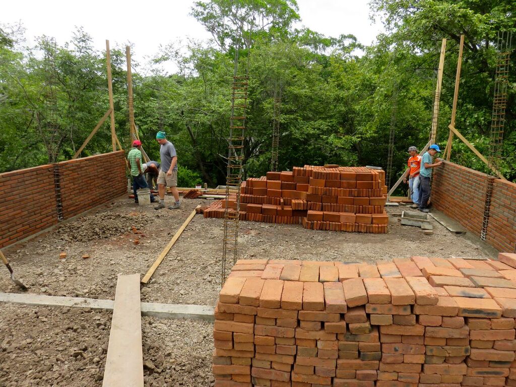
Early Construction Site
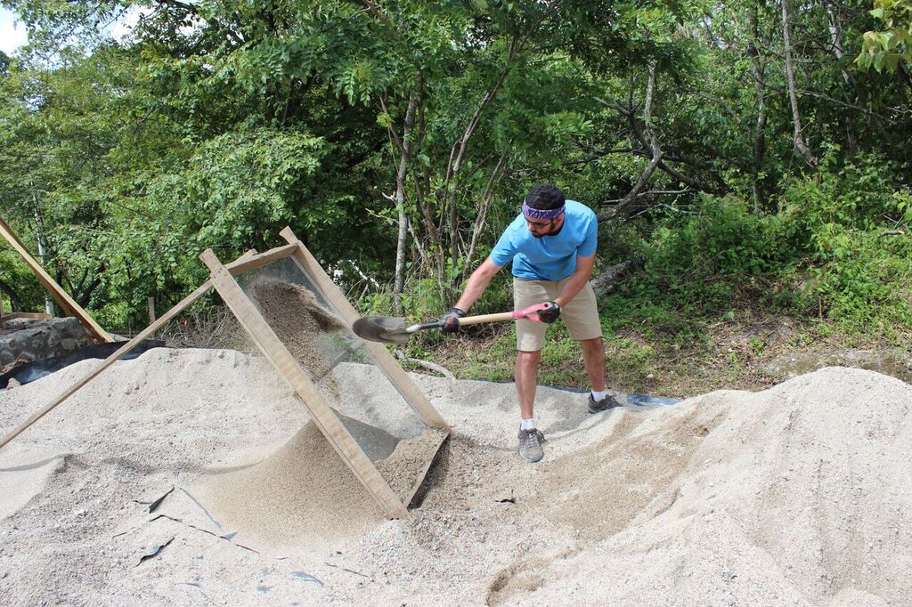
Sifting Aand

Cement Mixing
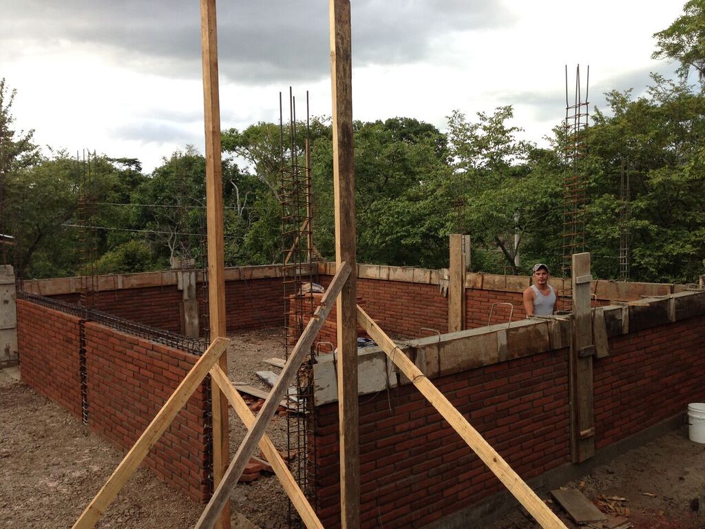
Construction Moving Along

Everyone Working
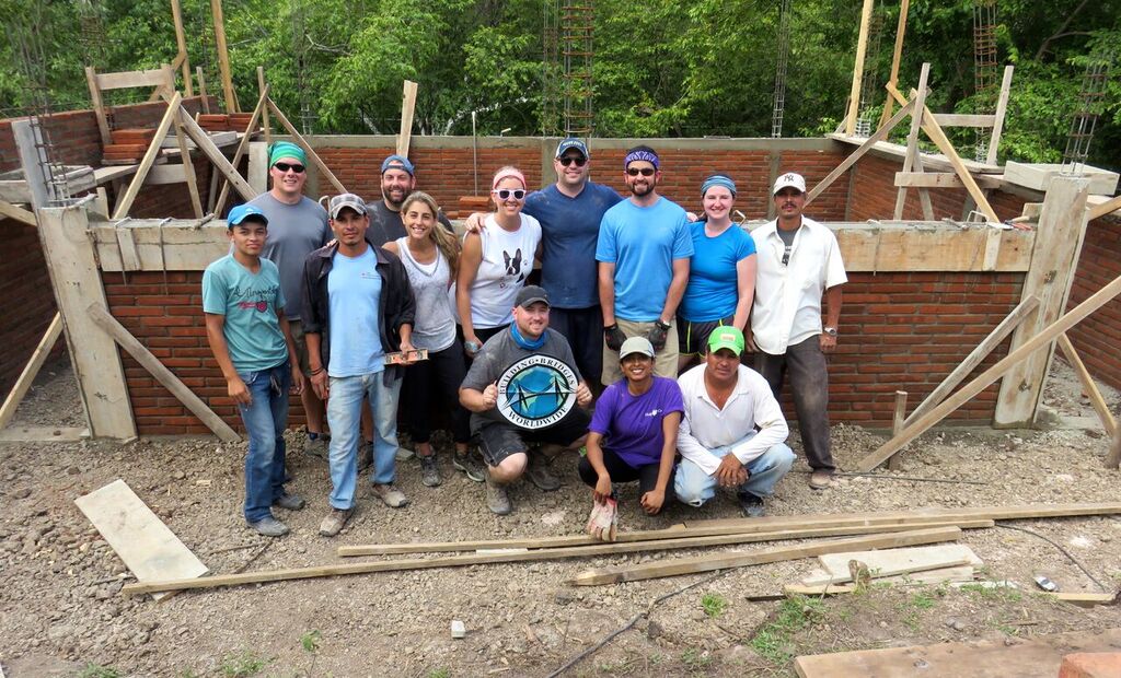
Group Shot
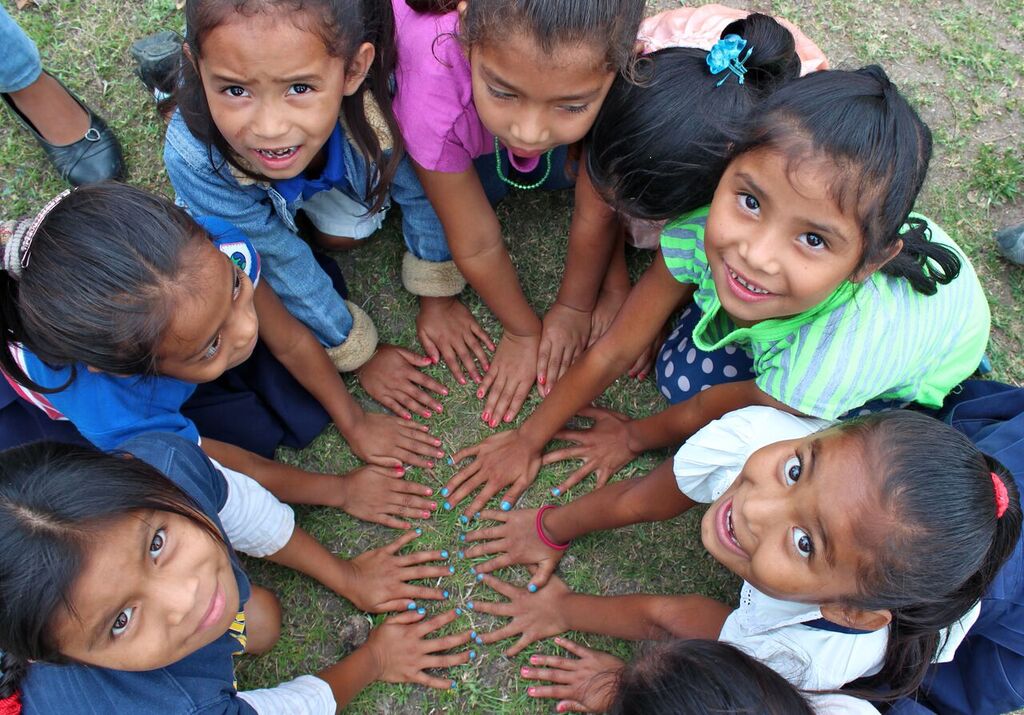
Girls with Nailpolish
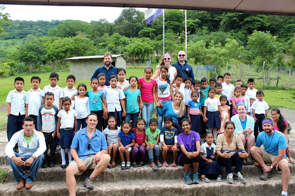
Class Photo

Countryside